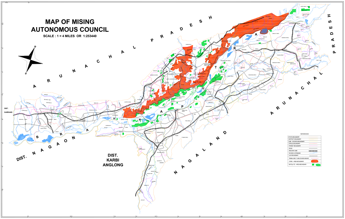
About MAC Area
Mising Autonomous Council (MAC) area is situated along the Brahmaputra and Subansiri rivers, spanning from their headwaters in Tinsukia and Dhemaji districts to the Kaziranga National Park in Golaghat district, and up to the Jiabhoroli river in the north. The Mising people, belonging to the North Assam branch of the Tibeto-Burman linguistic group, primarily inhabit the floodplains or water meadows on both banks of these rivers. Additionally, they reside on the numerous braid-bars or eyots along the Brahmaputra and Subansiri rivers.
In addition to the Mising tribe, other scheduled tribes such as the Bodos, Hajongs, Garos, Rabhas, Sonowal Kacharis, and Deuris, as well as non-tribal communities, also inhabit the MAC area. The region's landscape is dotted with small rivers, rivulets, and water bodies, which once provided abundant opportunities for prosperous livelihoods.
However, following the devastating earthquake of 1950, the behavior and characteristics of the Brahmaputra and Subansiri rivers underwent significant changes. Recurrent high floods and fluvial erosion became regular occurrences, leading to the displacement of numerous villages, extensive loss of arable land, deposition of sand in paddy fields, and silting up of natural water bodies and ponds. Consequently, what was once known as the rice bowl of Assam, particularly the erstwhile Lakhimpur district (now Lakhimpur and Dhemaji), has become one of Assam's worst flood-affected districts, with poverty rampant among its inhabitants. In response to these challenges, people have been compelled to clear forest areas for resettlement.
Floods and fluvial erosion remain the primary issues plaguing the entire MAC area. Therefore, it is imperative for MAC, in collaboration with the State Water Resources department, to strive diligently to find sustainable solutions and devise livelihood strategies that are compatible with the region's flood-prone terrain. This entails not only mitigating the adverse impacts of floods and erosion but also fostering resilient livelihoods that can withstand such challenges